
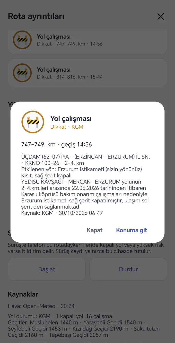
Closures and roadworks
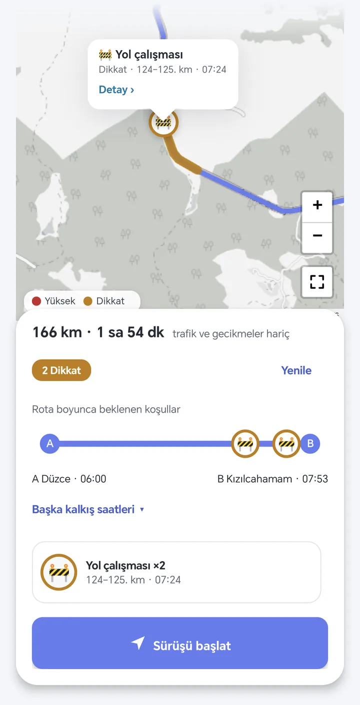
KGM records with direction, lane restriction and planned reopening time.
Android · Routes in Türkiye
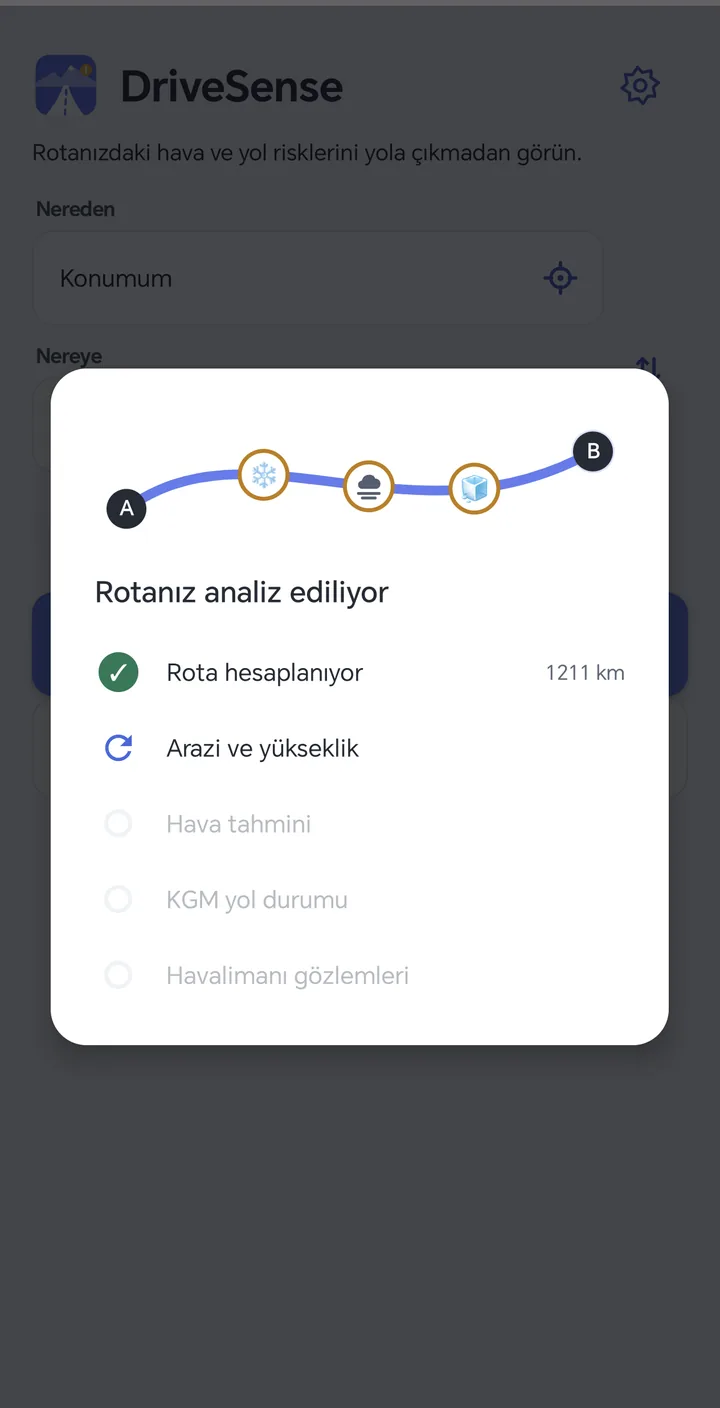
Fog, ice, snow, wind, closures and roadworks. On your route, at the exact time you pass. Keep your navigation app.
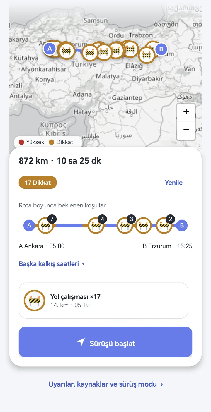
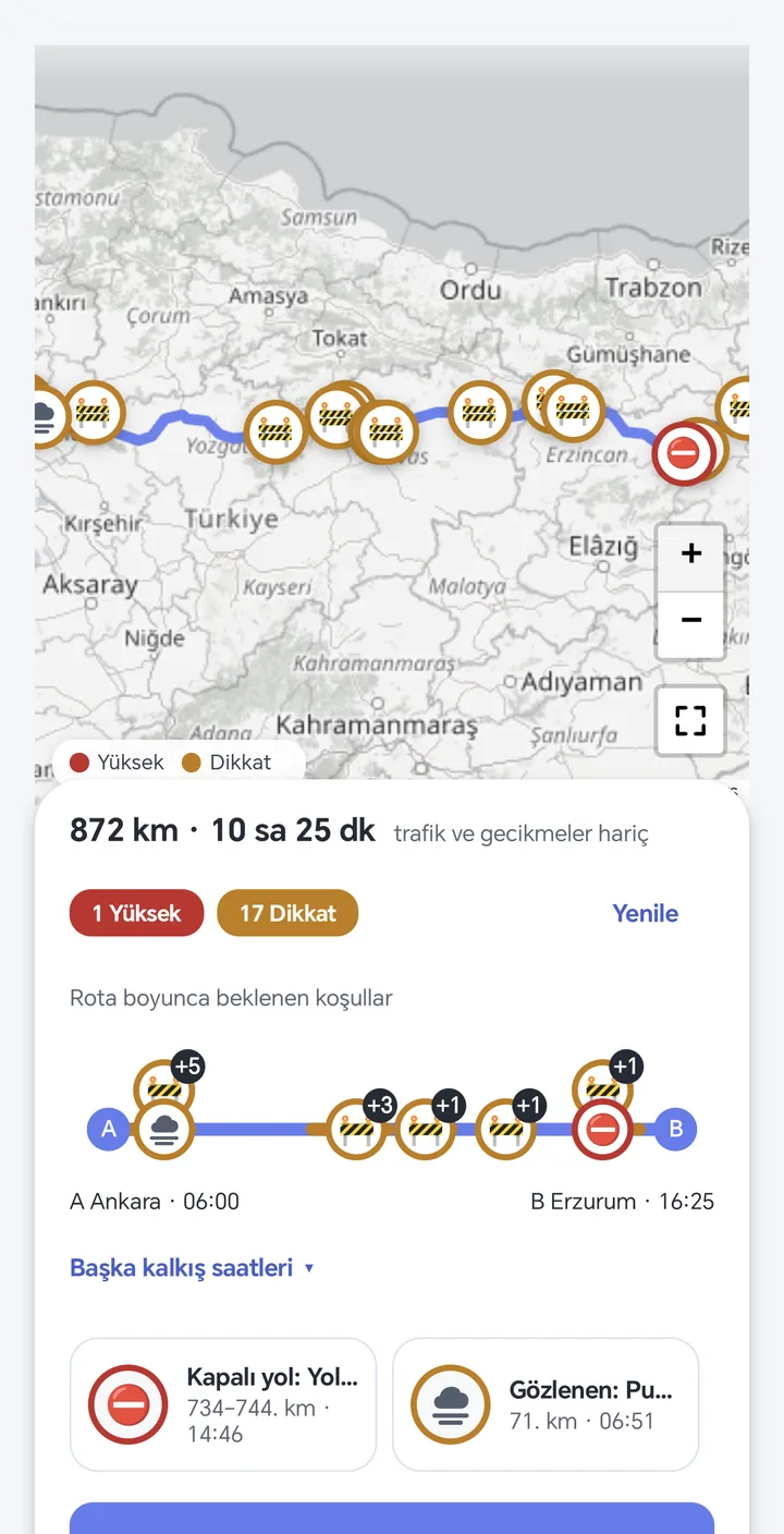
By pass time
Your arrival time is computed for every point and the forecast is read for that hour. Not the weather at departure, the 06:40 on the mountain pass.
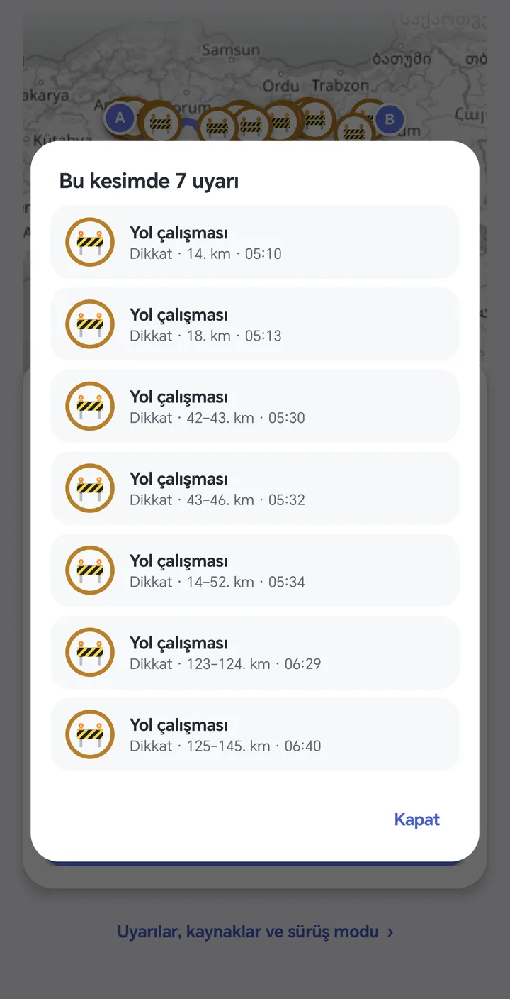
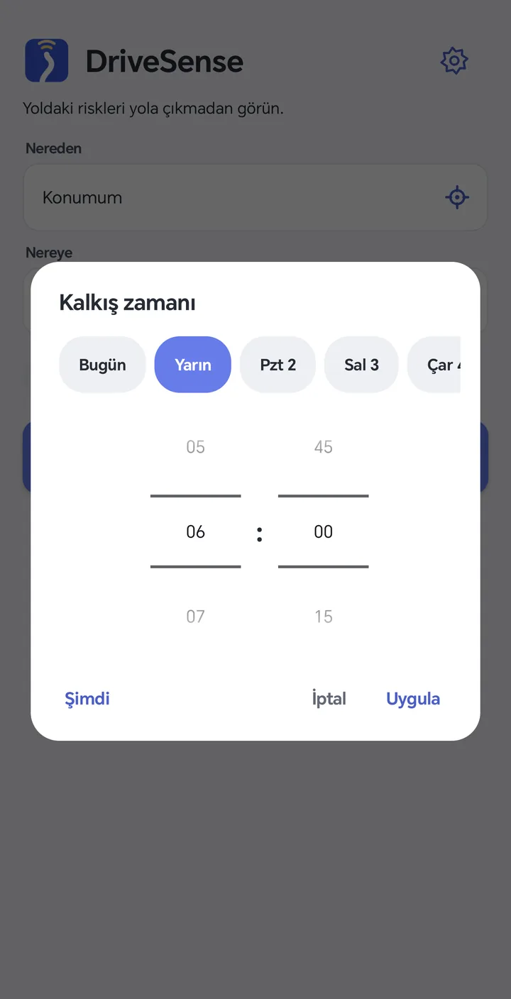
Departure time
Change the departure and the route, elevation and weather are re-analysed for that time. Pick the safest window in the next 6 days.
Closures · Roadworks
Official highway (KGM) records are matched to your route. Affected direction, closed lanes and planned reopening in the details. Your direction or the opposite one, clearly stated.
Drive mode
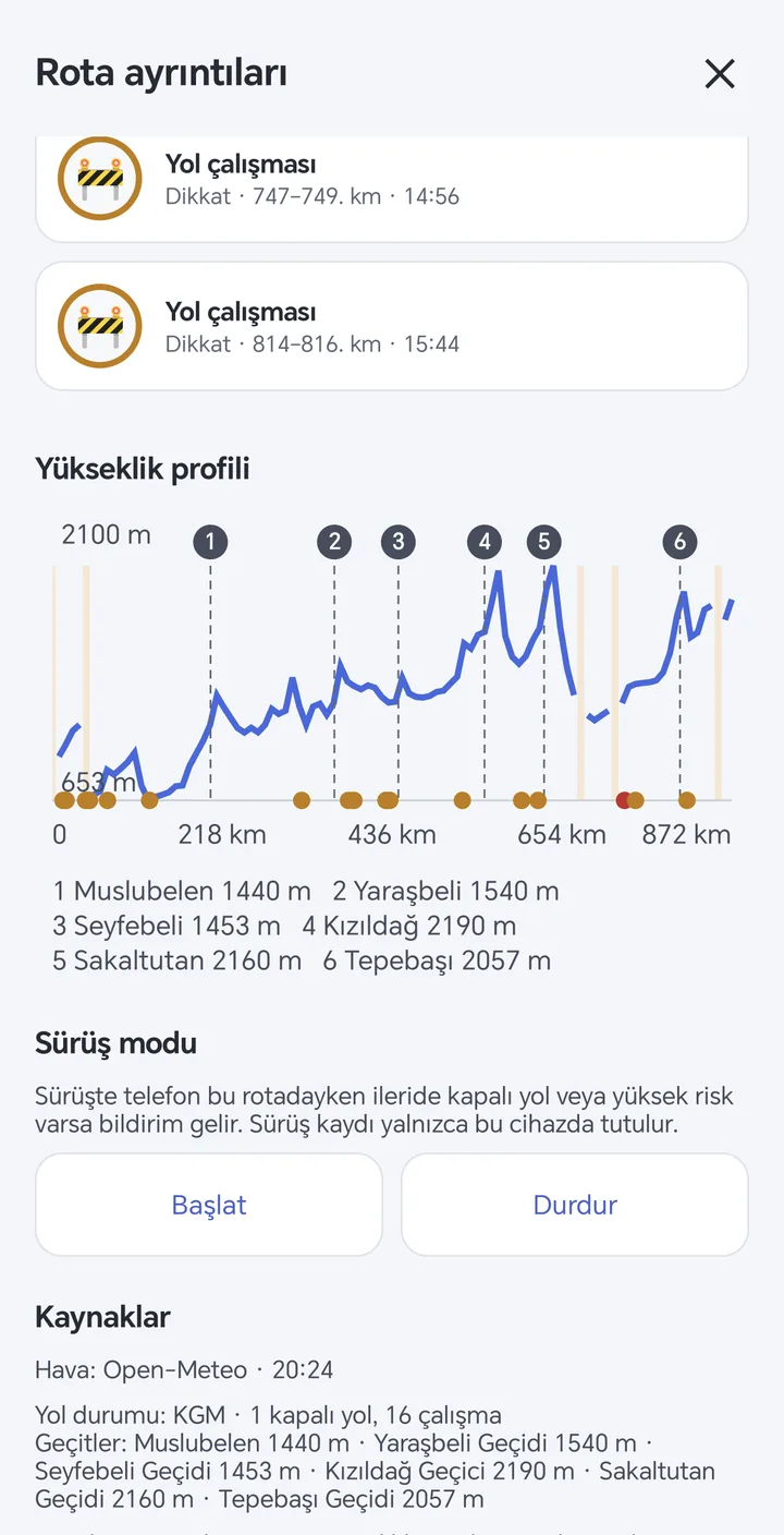
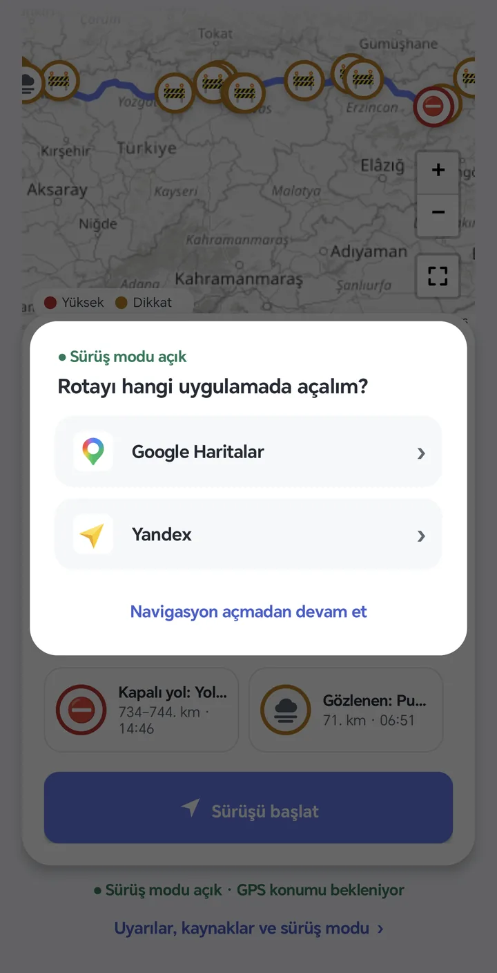
DriveSense doesn't give directions, it tells you about risk. In drive mode you get one notification 20 km before a high risk and 10 km before a caution point. Your screen stays on your navigation.
All features
KGM records with direction, lane restriction and planned reopening time.
Hourly visibility forecast, the 51-member ECMWF ensemble and airport observations (METAR).
Elevation profile, mountain passes (KGM), tunnel and bridge sections.
From temperature, dew point, snowfall, snow depth and freezing level.
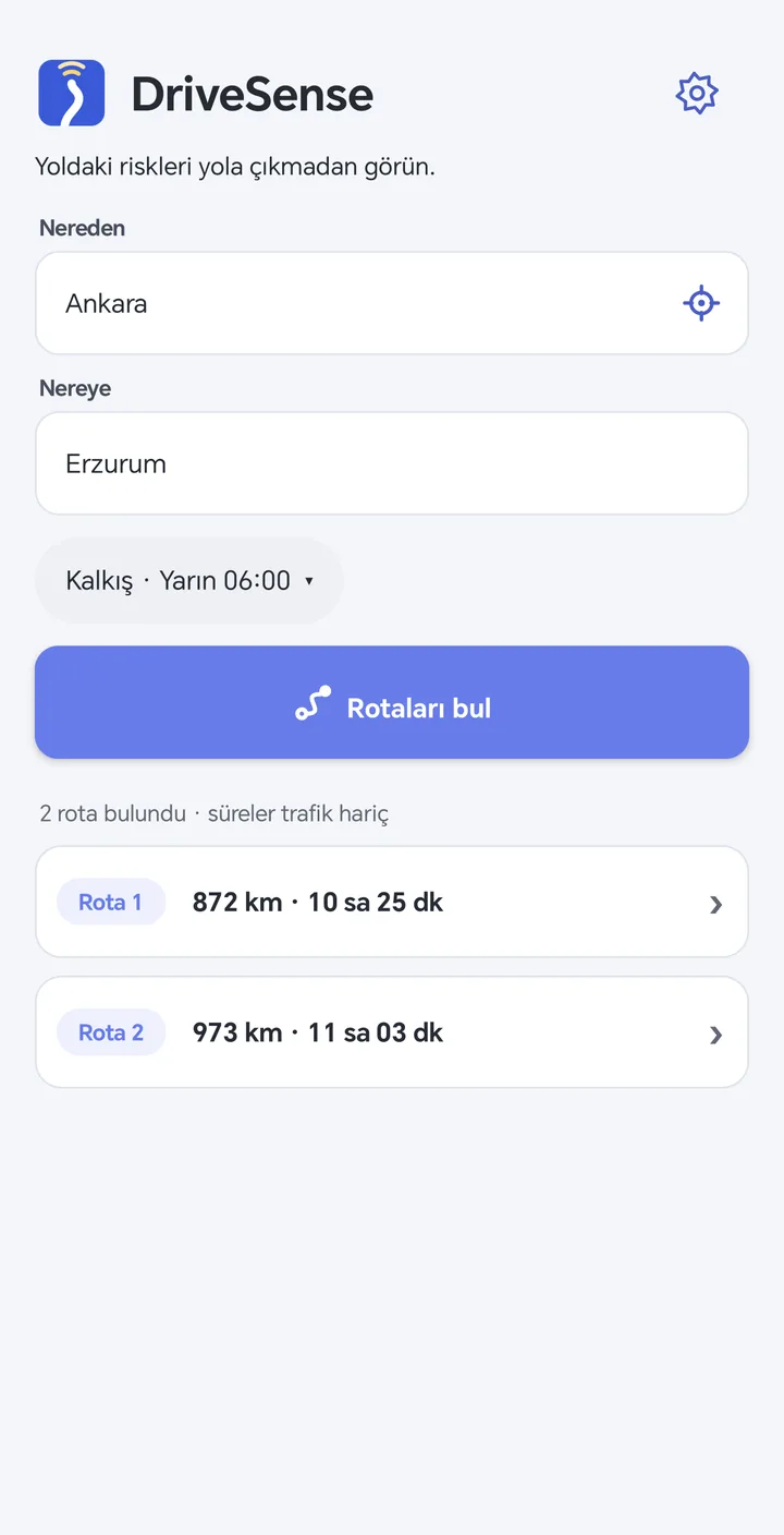
When there are several routes they are listed with distance and duration; you see the risks of the one you pick.
Bridge decks freeze before the road. Bridges are flagged separately in cold, humid hours.
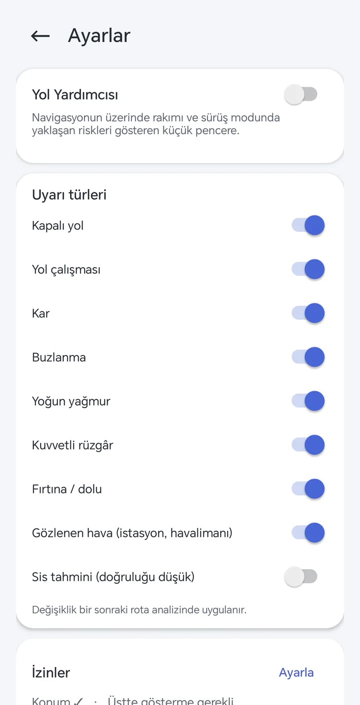
Choose which risk types you want to see.
Gust, thunderstorm and hourly precipitation thresholds.
A small window over your navigation with live altitude and upcoming risk.
How it works
Transparent data
Every alert states its source and freshness. Forecasts and observations are never mixed up.
Android · Routes in Türkiye
Enter your route and see fog, ice and closed roads for the time you will get there, before you leave. Your feedback directly shapes the alert thresholds.
DriveSense is for information only; it does not replace traffic signs, official announcements or driver judgement.